As part of the 3-C (Continuing, Comprehensive, and Cooperative) planning process, the Danville Metropolitan Planning Organization (MPO) often initiates transportation studies intended to result in safety and functionality improvements of the region’s transportation network. These studies are often used as the basis for Smart Scale applications, which currently serve as the main funding mechanism for transportation projects in the Commonwealth of Virginia. This year, the MPO has selected the Piney Forest Road corridor for study to identify deficiencies along the corridor as well as subsequent recommendations.
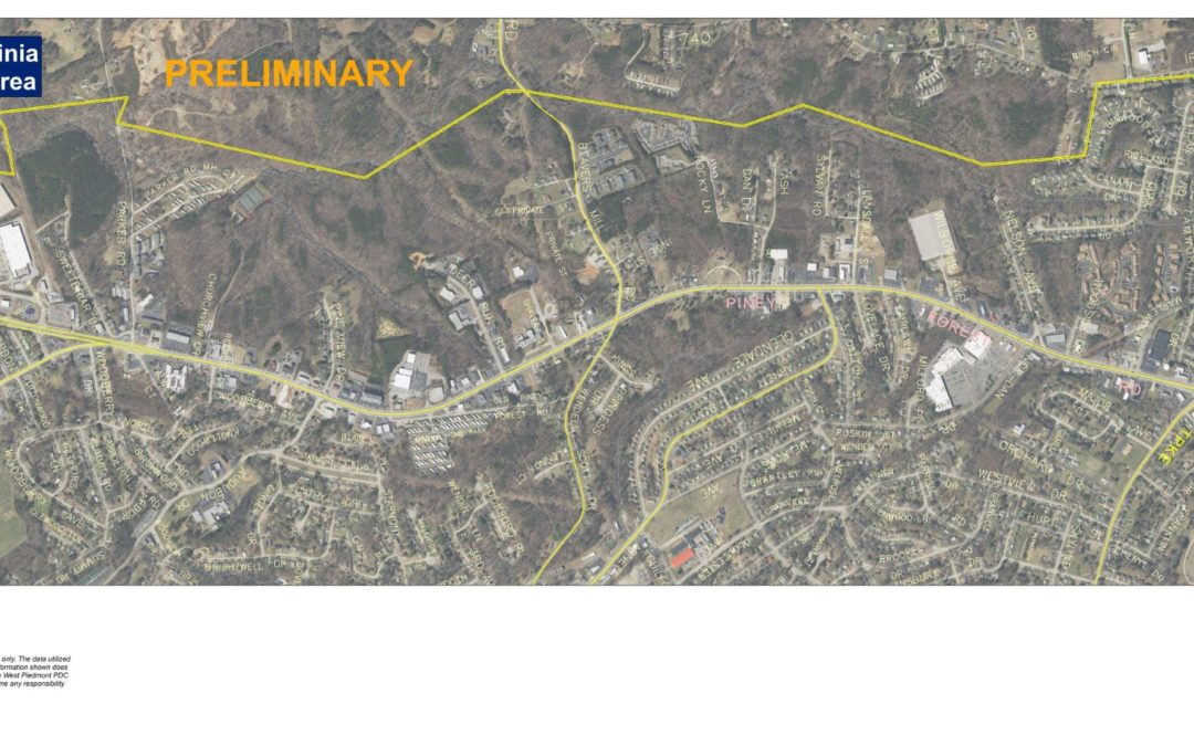
The Piney Forest Road corridor serves the northern section of the City of Danville, extending along a north/south orientation from Danville’s regional shopping area which includes Danville Mall and Coleman Marketplace, north to the boundary of Pittsylvania County, from which it continues north as U.S. 29 Business, merging with U.S. 29 in the Blairs area of the County. The study area for the corridor is 2.6 miles in length, extending from Holt Garrison Parkway at the southern end, to Franklin Turnpike at the northern end. The Piney Forest Road corridor is classified as a Principal Arterial roadway, which means it is responsible for facilitating travel to and from major activity centers, and to serve a commuter function by conveying traffic to and from the center city. In addition, the corridor serves local residential neighborhoods to the east. The built environment immediately adjacent to the corridor is best described as strip development comprising an array of retail, professional, and service uses, interspersed with some residential use.
The Piney Forest Road corridor had been studied in years past, but given recent innovations in transportation planning, renewed focus on multimodal transportation, and the fact that traffic conditions change over time, it was determined that the corridor should be given a fresh look. The MPO employed the services of EPR Planning Consultants, of Charlottesville—currently the Danville MPO/WPPDC on-call consultant—to conduct the study.
EPR put forth a scope of work (an outline of the tasks to be completed, as well as the project timeline) for the project, which began in early 2021 and will involve two phases. The first phase, consisting largely of data collection, is currently underway and will conclude during the summer of this year. The second phase, which will include traffic counts and the formation of recommendations, will begin during late summer of 2021 and will conclude in 2022.
An initial analysis of the corridor was conducted, which revealed some deficiencies and opportunities to be explored. For example, it was revealed that the corridor struggles with a general lack of access management, meaning that vehicular access points are not consistent with VDOT standards for spacing and location. Poor access management often contributes to crashes as well as poor overall performance of a corridor. This corridor is also characterized by a high crash rate, with 550 crashes occurring over a five-year period, resulting in several fatalities. The analysis also found that numerous intersections exhibited a high Potential for Safety Improvement (PSI), which means that the crash rate at those intersections is higher than would be expected for that road. The initial analysis also revealed high traffic volumes throughout the corridor, with volumes approaching 30,000 vehicles per day near its southern end. While the corridor is well served by sidewalks, it lacks crosswalks in many locations, resulting in less than ideal conditions for pedestrians. Furthermore, the intersection of Piney Forest Road at Franklin Turnpike is very large, is not served by crosswalks, and is generally hostile to pedestrians. Two pharmacy/grocery stores, as well as fast food restaurants, are located at this intersection, and several apartment complexes are situated within walking distance, presenting opportunities to improve pedestrian safety and comfort at this location. The corridor also lacks bicycle facilities, and the study will explore opportunities to integrate bicycle or multi-use trail facilities into the corridor.
While EPR will perform the majority of the study, including drafting of the final report, MPO staff will conduct several aspects of the study. For instance, staff have been tasked with identifying opportunities for parallel vehicular connections, and to compile potential access management policies the City could adopt to govern vehicular access to individual properties. Additionally, staff will conduct travel time analyses as well as observe traffic signal queues (the number of vehicles lined up at a traffic light).